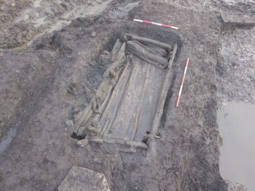
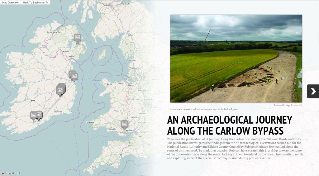
At Rubicon we are always seeking innovative ways of communicating the results of our excavations to wider audiences. It is our view that this type of outreach is an integral part of what archaeology is all about. Recently we have been experimenting with new digital tools in an effort to explore new ways of telling these archaeological stories. With that in mind, we decided to take the opportunity to tell the story of the archaeology of a road scheme using a free digital tool called StoryMap JS. This was devised by Knight Lab at Northwestern University to tell stories based around a series of events using maps. We chose the Carlow Bypass as our story; this year will see the publication of a monograph by the National Roads Authority on our work along the route, where we excavated and reported on a total of 57 archaeological sites. On our StoryMap you can follow us along the scheme from south to north, finding out about the discoveries we made in each townland and occasionally taking geographical detours to explain parts of the post-excavation process. We would love to know what you think of it (and if you think we should try it again!). You can access the StoryMap by clicking here or by clicking on the image below. Once at the StoryMap interface, you can scroll forward and back through the Story using the arrows the left and right of the screen.

★Special thanks to NRA Project Archaeologist Noel Dunne, who oversaw the works on the Carlow Bypass and who commented on a draft of this StoryMap.